UKCEH Water Apps
Web apps for the Water Resources Science Area.
Popular apps
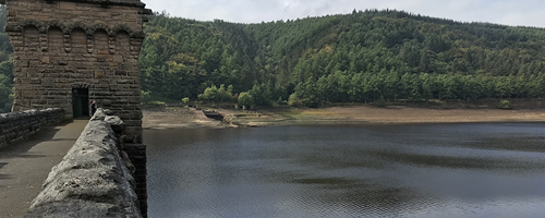
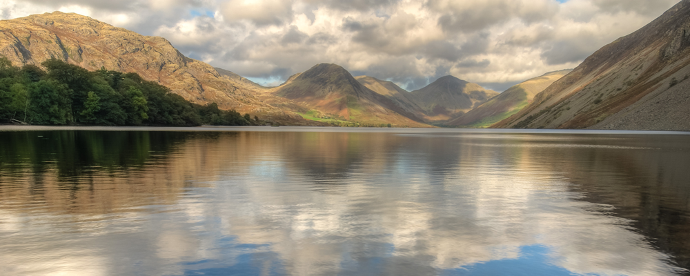
UK Water Resources Portal
An interactive tool to monitor the UK hydrological situation in (near) real-time at a range of spatial scales. Putting the current status in a historical context.
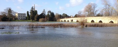
UK Hydrological Outlooks Portal
The UK Hydrological Outlooks Portal provides interactive, dynamic access to visualise the model outputs from the Hydrological Outlook, both spatially and in the form of a number of time series.

Bloomin' Algae
A Citizen Science app to help reduce public health risks from harmful algal blooms of blue-green algae.
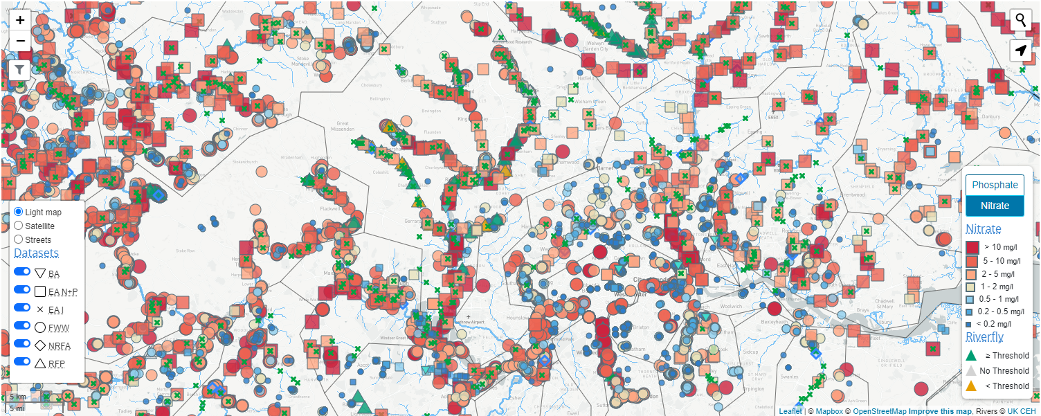
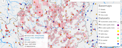
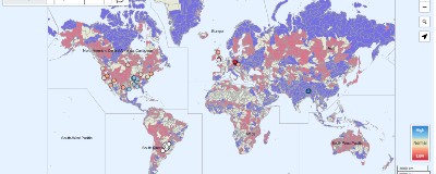
Freshwater data explorer
This portal contains data about pressures on the environment as well as the way wildlife is responding to those pressures.
Hydrological sensor data integration tool
A UK-SCAPE prototype web tool for demonstrating the integration and visualisation of hydrological sensor data (often real-time) from diverse online sources.
UK Lakes portal
Explore over 40,000 lakes across the UK. Lake details for typology, chemistry, land cover, biology, connectivity and water quality.
Monitoring programmes
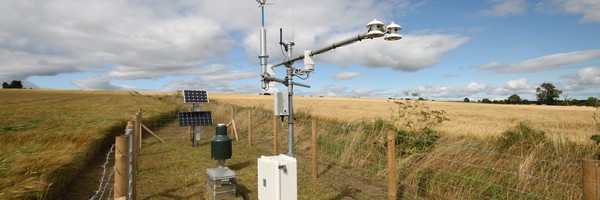
COSMOS-UK
A long-term network of soil moisture monitoring stations for the United Kingdom providing near-real time soil moisture data.

National River Flow Archive
The UK's focal point for river flow data, the NRFA collates, quality controls, and archives hydrometric data from gauging station networks across the UK.
Specific apps
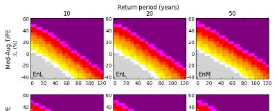
Climate change impacts
Estimates of the impacts of climate change on river flood peaks across Great Britain.
Drought data hub
Browse, access and download drought data.

Drought libraries
A nationally consistent toolkit for improved resilience in the UK public water supply sector.
eFLaG
An interactive tool to explore the eFLaG dataset. The dataset is a set of nationally consistent climatological and hydrological projections based on UKCP18.

Historical drought inventory explorer
Search contents of the multi-sector drought inventory.
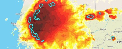
Hydrology in Sub-Saharan Africa
Nowcasting and Projected future changes in river flows across Sub-Saharan Africa.
HydroSOS Demonstration Portal
WMO Hydrological Status and Outlook System

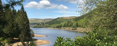
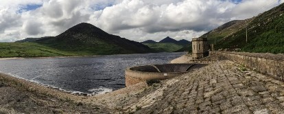
Loch Leven
Loch Leven has been monitored by UKCEH, and its predecessors, since 1968.