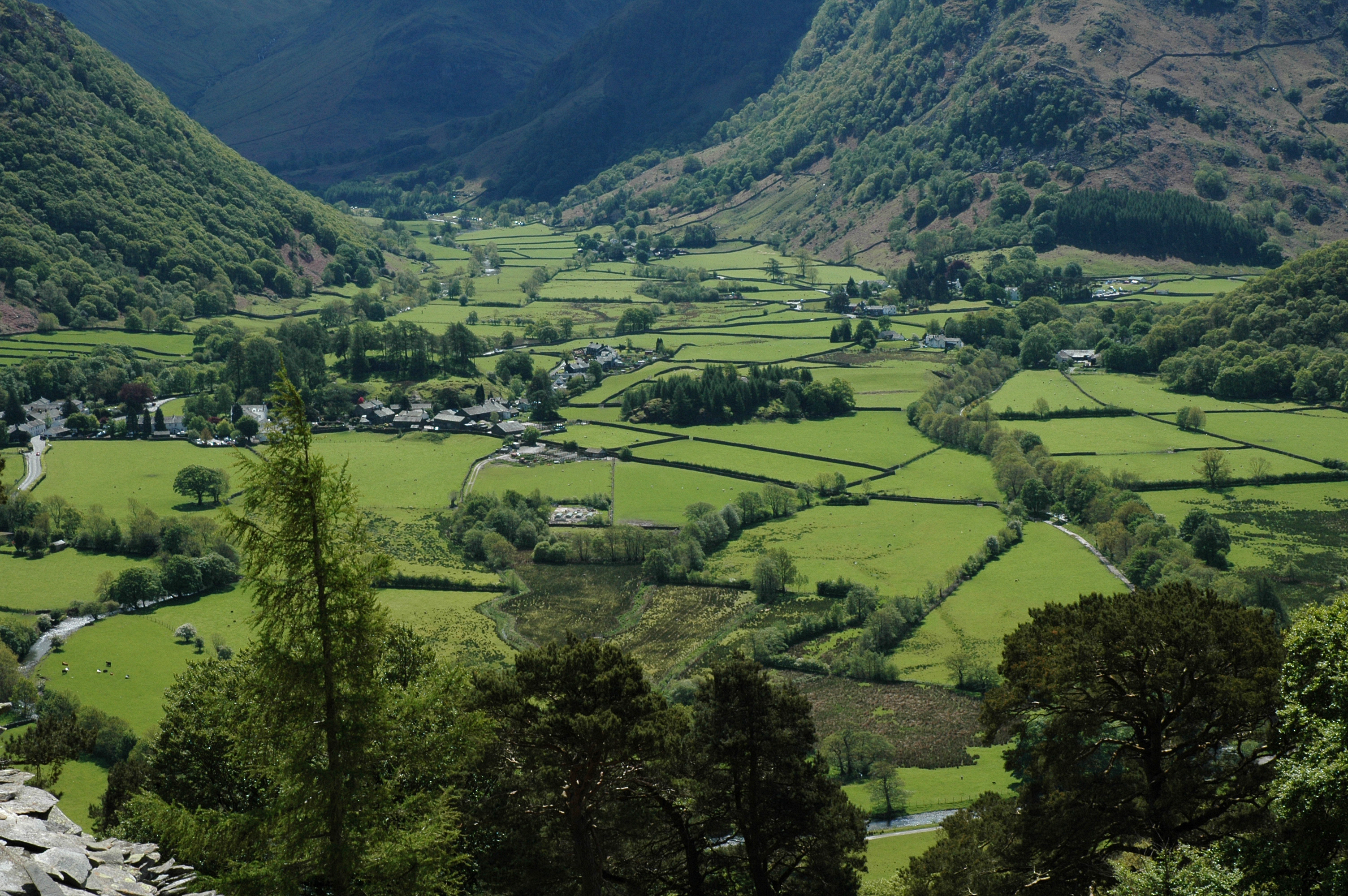
Natural England natural capital maps
With ever increasing interest in the benefits that the natural environment provides to people, there is a need to know where our natural capital is.
Natural England and UKCEH have collaborated on this project to map aspects of natural capital.
Natural Capital
Natural capital is defined as:
"…the elements of nature that directly or indirectly produce value to people, including ecosystems, species, freshwater, land, minerals, the air and oceans, as well as natural processes and functions"
- Natural Capital Committee
This suite of ten maps, of different aspects of natural capital, contributes to our understanding of where our natural capital is.
The maps have been produced using a range of datasets, including UKCEH sample data from the Countryside Survey (2007). UKCEH’s Ecomaps tool has been used to produce maps at an England level through statistical interpretation and extrapolation from the sample data.
Each map is available to download as Geographical Information System (GIS) compatible data, or as a high resolution png image. You can view the map by zooming in on the high resolution image, or on the map viewer, which lets you zoom in to a part of the country. Accompanying text explains how each map has been produced and what it shows. The maps are at a 1km resolution and a brief explanation of why this resolution has been used is provided. All of the accompanying text is available as downloadable reports.
We hope that you find these maps useful. If you need any help with using them, please contact us. We would be keen to hear about your experience of using these maps.
- Background to the project - This project provides publicly available maps of natural capital, underpinning the provision of ecosystem services. It builds on Natural England’s mapping of ecosystem services, based on broad habitats.
- Reports and Data - Maps have been produced at a 1km resolution through statistical interpretation and extrapolation from a range of sample data. An accompanying report explains how each map has been produced. Reports, map images and GIS layers are available to view and download.
- Scaling Report - A 1km resolution was chosen as the most appropriate scale at which to produce maps of natural capital. This report explains how and why this scale was chosen.